Nagashima (Nagashima Spa Land) about 60 years ago and today
Then and now
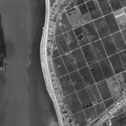
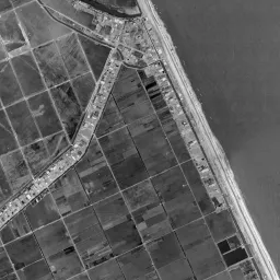
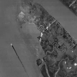
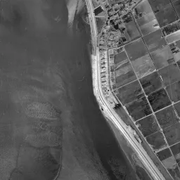
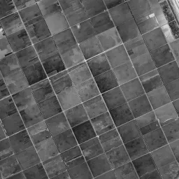
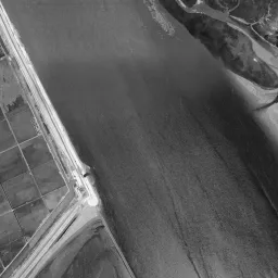
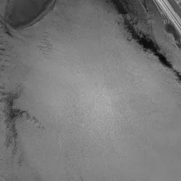
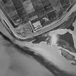
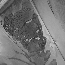
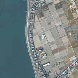
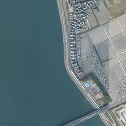
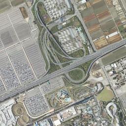
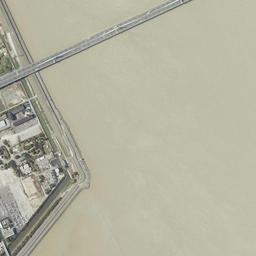
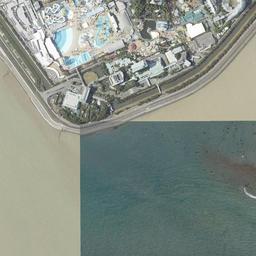
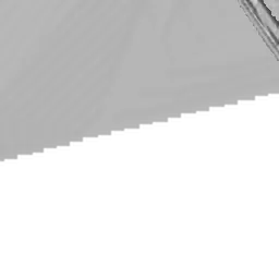


Center photograph taken: 1961-68
What to compare in this era: Look at the thick white band of levee running around the edge of the land and the group of small white buildings at the southern tip. The grid of paddies to the north follows almost the same lines as north of the bridge in today's photograph
Controls: drag to move / right-drag to rotate and tilt / scroll while holding ⌘ or Ctrl to zoomControls: slide with two fingers to move / pinch to zoom / drag two fingers up or down to tilt
Note: the 3D elevation data is based on current surveys, not on the terrain at the time of the photograph. Elevation tiles: processed from GSI Tiles
The 3D view could not be loaded. Check your connection and try again.
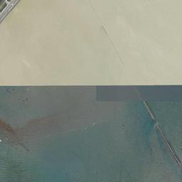
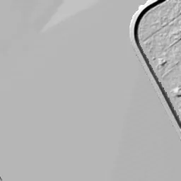
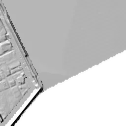
Gray areas in the old photograph: Areas where no aerial photograph of this era is available (outside the area photographed, over the sea and the like).
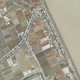
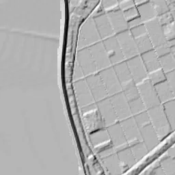
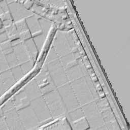
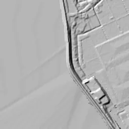
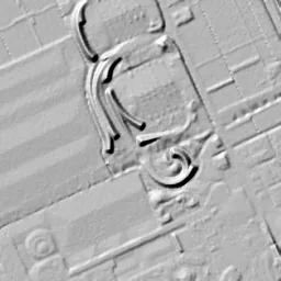
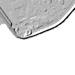
Note: the terrain shading is based on current surveys, not on the terrain at the time of the photograph. Hillshade map: processed from GSI Tiles
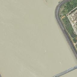
Note: the map is today's, not a map from the time of the photograph. Map: © OpenStreetMap contributors
Source: processed from GSI Tiles (aerial photographs by era / latest nationwide photographs / single photographs)
Explore this area on the mapMove the map to compare the surroundings then and now as well.
Overlay and compare the 1961-1969 aerial photograph and today's photograph of the Nagashima (Nagashima Spa Land) area, Mie Prefecture. All photographs are published by the Geospatial Information Authority of Japan (GSI).
Eras of photographs for this location
For the Nagashima (Nagashima Spa Land) area, aerial photographs from the following eras can be compared.
The old photographs of this location cover 5 eras from 1945-1950 to 1987-1990; as of 2026, the newest photograph, 1987-1990, is 39 years ago.There are no photographs of this location from after that until today. The differences between eras are summarized in the guide to aerial photograph eras.
Coverage for each era differs by region. Only the eras that actually have photographs of this location are listed here.
Elevation of this location
The elevation (above sea level) at the reference point of Nagashima (Nagashima Spa Land) is -0.2 m (source: GSI elevation API). Elevation profiles running east-west and north-south through this location are also shown.
Profile positions (vertical green line = north-south / horizontal blue line = east-west)
Where the line in a profile breaks off and leaves a gap, no elevation data is available (water surfaces such as the sea or rivers).
Elevation is the value at the ground surface (even where a station is underground or elevated, the value is for the ground surface). Elevation is only one factor in disaster preparedness. Check actual risks such as flooding on the Hazard Map Portal Site and the hazard maps published by local governments.
Elevation tiles for the profiles: processed from GSI Tiles
Access by rail
One of the nearest stations to Nagashima (Nagashima Spa Land) is Kintetsu-Nagashima Station, served by the following lines.
- Kintetsu Railway Nagoya Line
Source of line information: processed from National Land Numerical Information (Railway Data / Ministry of Land, Infrastructure, Transport and Tourism).
Change seen in the share of built-up area
This compares land use in 1976 and 2021. The share of built-up area within 500 m changed from 4% to 16%. Among the locations on this site, the spread of built-up area here is in the middle. The bar below shows where this location falls in the distribution across the locations on this site.
Source: processed from National Land Numerical Information (Land Use Subdivision Mesh / 1976 and 2021 / Ministry of Land, Infrastructure, Transport and Tourism). The texture value (amount of fine detail) of the photographs changed from 12.3 to 34.5. This is a mechanical comparison between photographs and includes differences from the shooting season and from black and white versus color, so treat it only as a rough guide.
Official land prices over time
The official land price (Chika Koji) standard site nearest to this location is "598-239 Shirasagi Shirasagigawa, Kisosaki Town, Kuwana District, Mie Prefecture" (about 3.8 km in a straight line; use: Residential). The official prices per square meter at this standard site from 1993 to 2026 are shown below. The 2026 official price is 30,800 yen.
View as a table
| Year | Official price |
|---|---|
| 1993 | 71,000 yen |
| 1994 | 68,000 yen |
| 1995 | 67,300 yen |
| 1996 | 66,200 yen |
| 1997 | 66,000 yen |
| 1998 | 65,700 yen |
| 1999 | 65,700 yen |
| 2000 | 65,700 yen |
| 2001 | 65,200 yen |
| 2002 | 64,500 yen |
| 2003 | 63,600 yen |
| 2004 | 60,000 yen |
| 2005 | 55,500 yen |
| 2006 | 52,900 yen |
| 2007 | 51,700 yen |
| 2008 | 50,600 yen |
| 2009 | 49,600 yen |
| 2010 | 48,500 yen |
| 2011 | 47,600 yen |
| 2012 | 45,800 yen |
| 2013 | 44,100 yen |
| 2014 | 42,700 yen |
| 2015 | 41,200 yen |
| 2016 | 39,800 yen |
| 2017 | 38,300 yen |
| 2018 | 36,900 yen |
| 2019 | 35,500 yen |
| 2020 | 34,400 yen |
| 2021 | 33,300 yen |
| 2022 | 32,400 yen |
| 2023 | 31,800 yen |
| 2024 | 31,400 yen |
| 2025 | 31,100 yen |
| 2026 | 30,800 yen |
Source: processed from National Land Numerical Information (Land Price Publication Data / Ministry of Land, Infrastructure, Transport and Tourism). Official land prices are values published for standard sites as of January 1 each year and do not show the transaction price of any particular piece of land. The selection and location of standard sites may be reviewed from year to year.
Nearby locations
Sorted by distance from Nagashima. Comparing them together shows how the same area has changed over time.
Select a marker on the map to see the location name and a link to it.
Locations with the same origins
Towns in the same category as Nagashima (Redevelopment), chosen from other regions. You can compare what they share in land use and town layout.
Select a marker on the map to see the location name and a link to it.
Recently viewed towns
This history is saved only on your device and is not sent to any server. Depending on your browser settings, it may be deleted automatically if you do not visit for a while (it is less likely to be deleted if you use the site as an app).
Why not look at how another town has changed?
History of Nagashima (Nagashima Spa Land)
Just before the Kiso River, the Nagara River and the Ibi River flow out into Ise Bay, at the southern tip of a long, narrow strip of land held between river and river, an amusement park, hot springs and hotels are gathered together. This is the Nagashima district of the City of Kuwana. The City of Kuwana introduces the Nagashima district as land surrounded by the Kiso Three Rivers that keeps the history of waju and their embankments. A waju is the form in which a village surrounded by rivers ringed its own paddies and houses all the way around with levees. In the frame of the aerial photograph too, the land is edged from end to end by the lines of levees, and lots of paddies are packed inside them. The amusement park was built using the southernmost paddies inside those levees.
An island of paddies enclosed by levees
The three rivers were originally tangled together like a mesh in their lower reaches. Materials of the Kisogawa Karyu River Office state that the separation of the rivers began with the Horeki river works in the mid-Edo period, that after the Meiji era began, works to separate the three rivers completely went ahead under a plan by the engineer de Rijke and others invited from the Netherlands, and that a ceremony marking the successful separation was held in 1900. Today's river courses were shaped by these Meiji-era works. The long, narrow land of Nagashima is held on both sides by the separated rivers.
The 1945-50 photograph shows only the upper side of the frame, but even so the form of the waju can be read. Houses line up in one row on top of the levee that descends in an arc from the upper left, and inside the levee long, narrow strip-shaped paddies line up in many layers. One road runs diagonally across the middle of the frame from the lower left to the upper right, and houses continue on both sides of it too. A wide river flows to the right of the land, and a flat sandbar with narrow waterways running in and out spreads further to its right. Almost no houses stand among the paddies, and the way the houses line up traces the lines of the levee and the road just as they are.
On September 26, 1959, the Isewan Typhoon struck. According to materials of the national Kisogawa Karyu River Office, the storm surge and flooding broke the levees at 240 places over about 33 km, and on land at zero meters above sea level the water did not recede for as long as about 120 days. It is also recorded that, prompted by this typhoon, the storm surge levees were restored, and that they were later raised again and again to keep up with the sinking of the ground.
The first photograph in which the land fits into the frame down to its southern tip is the one from 1961-69. The thick white band of levee running around the edge of the land catches the eye first. Unlike the strips of 1945-50, the paddies inside the levee have been arranged into large, nearly square lots, and the white lines of the paddy ridges draw a grid. The houses still only line up along the left levee and the diagonal road, and small white buildings and a pond-like shape can be seen only in a few lots at the southern tip. Sandbars float in the rivers on both the left and right of the land; on the upper right sandbar narrow waterways branch off, and the lower right sandbar is covered with a coarse surface like reeds.
Where the hot water that was struck went
Hot water called people to this edge of the paddies. According to the chronology of Nagashima Kanko Kaihatsu, which runs Nagashima Resort, a natural gas drilling company came into Nagashima Town in 1959, and in August 1963 a hot spring source at 60 °C gushed up from 1,540 m underground. In December of the same year Nagashima Kanko Kaihatsu was founded, and in November 1964 Nagashima Onsen opened. The amusement park Nagashima Spa Land began provisional operation in November 1965 and moved to full operation in March 1966. You cannot say for certain whether the group of small buildings seen at the southern tip in the 1961-69 photograph corresponds to the first facilities of this hot spring, because the years in which the photographs were taken span a range.
In the 1974-78 photograph, the southern tip changes its look. Just inside the levee, buildings with round roofs and pale light-blue pools line up, and to their east a wide area of brown bare ground cuts into the paddies. North of there the grid of paddies still continues, mixed here and there with dark lots filled with water. The sandbars in the river have disappeared, and in the lower right one long, narrow line extends from the tip of the land into the water.
In the 1979-83 photograph the facilities jut out further north. Toward the left a large light-blue pool spreads in curves, and to its east a black track draws a loop. The chronology says that the Jumbo Seawater Pool began operating in July 1978, and this curving pool appears to be its look at about that time. In 1987-90, the few lots at the southern tip are completely filled with buildings, tracks and parking surfaces, and white buildings press up to just below the levee. Even so, the grid of paddies to the north remains along the same lines as in 1961-69.
While the facilities grew, the outline of the land itself hardly moved. The levee draws the same arc from 1961-69 to 1987-90, and the corner of the southern tip bends at the same position. The change is in the look of the water outside the levee. The sandbars that floated in the rivers in 1961-69 can no longer be seen in the photographs from 1974-78 on, and both the left and right of the land have become flat water surfaces. In the upper right corner, the levee of the neighboring land enters the frame in an arc, showing that another strip of land faces this one across the river. Inside the levee, facilities piled up on top of the paddies, and outside it the sandbars vanished and water spreads across the full width of the river.
An island of paddies crossed by a bridge
One expressway bridge crossing the frame diagonally from the lower left to the upper right first catches the eye in today's photograph. On the island, a ring-shaped interchange descends from that bridge to the ground. The chronology of Nagashima Kanko Kaihatsu states that in March 2002 the Wangan Nagashima Parking Area of the Isewangan Expressway and the outlet mall Jazz Dream Nagashima began operating one after the other. North of the bridge, low buildings with white roofs line up on both sides of a street, and to the west a wide surface lined with cars spreads, overwriting the lots of paddies as they were. The tracks of the amusement park are entwined across the whole southern tip, and the curves of the 1979-83 pool also remain in the same place.
Even so, the grid of paddies to the north has not disappeared. North of the bridge, both the size of the lots and the direction of the paddy ridges are almost the same as in the 1961-69 photograph, and the row of houses along the left levee and the diagonal road are also in the same positions. In December 2004 Nagashima Town merged with the City of Kuwana and Tado Town and became part of the City of Kuwana. The paddies of the waju, the amusement park that the hot water drew in, and the expressway crossing the river line up inside the same levee.
The height of the land hardly differs from sea level, and it is surrounded by rivers and the sea. The assumption of how far water would spread if the levees broke is drawn on the City of Kuwana's hazard map.