Kakomap
Compare a town's past with today in aerial photographs. Using aerial photographs by era published by the Geospatial Information Authority of Japan (GSI), you can overlay and compare how a town looked about 60 years ago with how it looks today. The photographs cover eras from 1928 to FY2007, and you can switch between the eras available at each location.
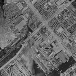 Toyosu: 1961-1969 and today
Compare freely at this location

Locations near you
Comparison pages with commentary near where you are now.
See then and now aerial photographs of where you are on the map
Select a marker on the map to check the old aerial photograph of that location right there.
Go to the then and now aerial photograph map, which covers anywhere in Japan
Recently viewed towns
This history is saved only on your device and is not sent to any server. Depending on your browser settings, it may be deleted automatically if you do not visit for a while (it is less likely to be deleted if you use the site as an app).
Today's location
We pick one location each day. Enjoy discovering how an unexpected town has changed.
Find a location
We picked representative locations, with old photographs, for each way a town took shape.
Reclaimed land
-
Toyosu
Tokyo / 1961-1969
-
 Maihama
Chiba Prefecture / 1961-1969
-
 Minato Mirai
Kanagawa Prefecture / 1961-1969
-
 Port Island
Hyogo Prefecture / 1961-1969
-
 Momochihama
Fukuoka Prefecture / 1961-1969
-
 Kinjo-futo
Aichi Prefecture / 1961-1969
-
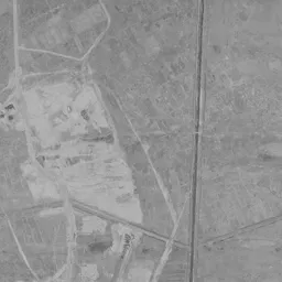 Tomakomai Port (West Port)
Hokkaido / 1961-1969
-
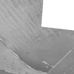 Hachinohe Port Coastal Industrial Zone
Aomori Prefecture / 1961-1969
-
 Mizushima Waterfront (Kurashiki)
Okayama Prefecture / 1961-1969
-
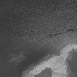 Bannosu (Sakaide)
Kagawa Prefecture / 1961-1969
Redevelopment
-
 Musashi-Kosugi
Kanagawa Prefecture / 1961-1969
-
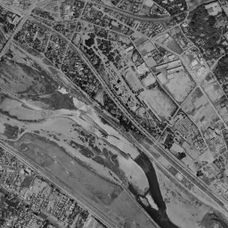 Futako-Tamagawa
Tokyo / 1961-1969
-
 Musashi-Urawa
Saitama Prefecture / 1961-1969
-
 Sasashima Live
Aichi Prefecture / 1961-1969
-
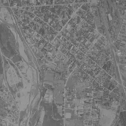 Yonezawa Station Area
Yamagata Prefecture / 1961-1969
-
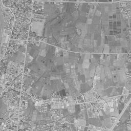 Utsunomiya Station East Exit
Tochigi Prefecture / 1961-1969
-
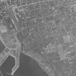 Nagahama Station Area
Shiga Prefecture / 1961-1969
-
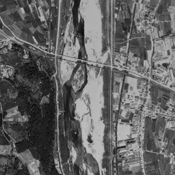 Kurayoshi Station Area
Tottori Prefecture / 1961-1969
-
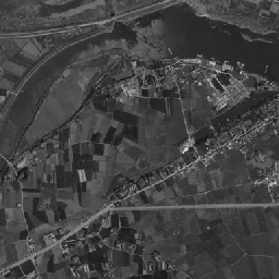 Anan (Lower Naka River)
Tokushima Prefecture / 1961-1969
-
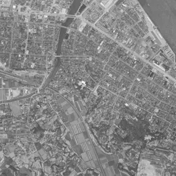 Karatsu Station Area
Saga Prefecture / 1961-1969
New town
-
 Kohoku New Town (Center-Kita)
Kanagawa Prefecture / 1961-1969
-
 Senri New Town (Senri-Chuo)
Osaka Prefecture / 1961-1969
-
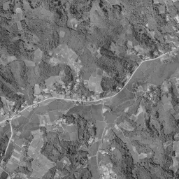 Tama New Town (Tama Center)
Tokyo / 1961-1969
-
 Chiba New Town Chuo
Chiba Prefecture / 1961-1969
-
 Seishin-Chuo
Hyogo Prefecture / 1961-1969
-
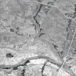 Izumi-Chuo (Sendai)
Miyagi Prefecture / 1961-1969
-
 Koyo New Town
Hiroshima Prefecture / 1961-1969
-
 Hinosato Danchi
Fukuoka Prefecture / 1961-1969
-
 Makomanai
Hokkaido / 1961-1969
-
 Kozoji New Town
Aichi Prefecture / 1961-1969
Former factory site
-
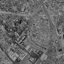 Yebisu Garden Place
Tokyo / 1961-1969
-
 Lazona Kawasaki
Kanagawa Prefecture / 1961-1969
-
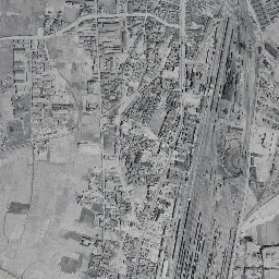 Asuto Nagamachi
Miyagi Prefecture / 1961-1969
-
 Kamaishi Station Area (Former Steelworks)
Iwate Prefecture / 1974-1978
-
 Sapporo Factory
Hokkaido / 1961-1969
-
 Higashi-Shizuoka (Former Shizuoka Rail Yard)
Shizuoka Prefecture / 1961-1969
-
 Umekita (Grand Front Osaka)
Osaka Prefecture / 1961-1969
-
 Kita-Nagase (Former Okayama Rail Yard)
Okayama Prefecture / 1961-1969
-
 Sunport Takamatsu
Kagawa Prefecture / 1961-1969
-
 Higashida (Yawata Steel Works Higashida District)
Fukuoka Prefecture / 1961-1969
Articles
Articles by theme on how towns took shape, as seen in old aerial photographs.
-
Places that used to be sea. Trace reclaimed land through aerial photographs and maps
Toyosu, Minato Mirai, Port Island, Rinku Town. Places that were sea surface or sandy beaches in the aerial photographs of the 1940s became, through reclamation, towns lined with stations and high-rise buildings. From Tokyo Bay to Ise Bay, Osaka Bay, and Hakata Bay, this article traces, together with the records of elevation and land prices, the moments when land appears on the sea as you step through the eras.
-
An elevation comparison. Read low towns and high towns from the terrain
Universal City is at the bottom at -0.2 m, and Hokusetsu Sanda New Town is at the top at 189.5 m. If you line up the locations on Kakomap in order of elevation, the low side divides into reclaimed land and former factory sites, and the high side into new towns made by cutting hills. This article reads ups and downs and even breaks at water surfaces in the two cross-section graphs, east-west and north-south, and traces the differences in how towns were born through the numbers.
-
Towns born by cutting away mountains. Traces of new town grading
Senri-Chuo, Myodani, Tama Center, Tama Plaza, Makomanai. The grading that cuts hills to make flat ground was a single civil engineering work that included even where the cut earth and sand went. This article lines up the bare ground under grading left in the aerial photographs, the steps of elevation in the four directions, and where the soil carried to the sea in Kobe went, and traces how the towns opened on the hills came to be.
-
Towns born on former rail yard sites, seen in aerial photographs
Umeda, Suita, Nagamachi, Shizuoka, Okayama, and Shiodome. The rail yards that sorted freight cars kept appearing in aerial photographs as blanks that people could not enter, even though they lay right beside stations. With the abolition of yard-based freight car regrouping in 1984 as the turning point, this article traces location by location the change in which those blanks are replaced by skyscrapers, hospitals, and parks.
Grow a Town: 50 Years

A game where you place housing and shopping streets on an aerial photograph of fields in front of a station, and build a town over 50 years while comparing it with the real photographs every 10 years.
What you can do on this site
- Overlay an old aerial photograph and today's photograph and compare them with a slider
- Switch between the eras of photographs available at each location
- Check the elevation of the land, the surroundings, and the rail lines serving the area
- Use the "Find locations near me" button to find locations near where you are
All photographs are from GSI Tiles. For details, see Sources and data.