Nakano (Former National Police Academy) about 60 years ago and today
Then and now
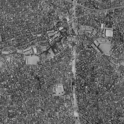
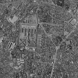
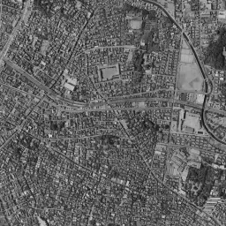
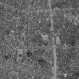
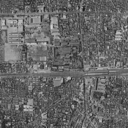
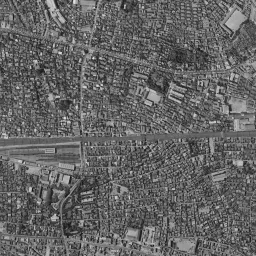
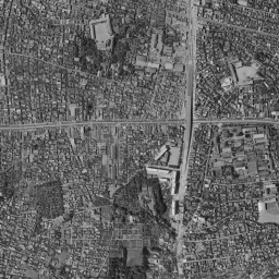
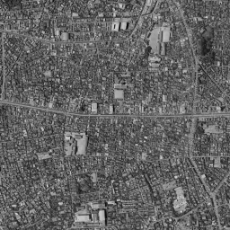
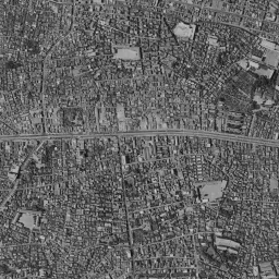
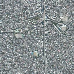
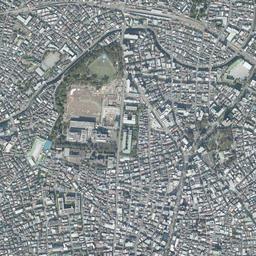
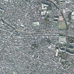
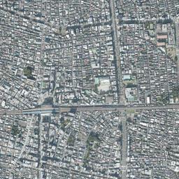
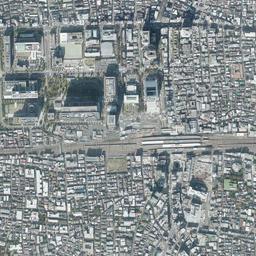
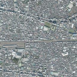
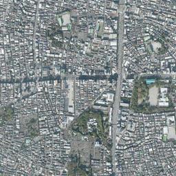
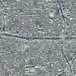
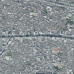


Nearby single photograph taken: June 26, 1963 (0.7 km from this spot)
What to compare in this era:
Controls: drag to move / right-drag to rotate and tilt / scroll while holding ⌘ or Ctrl to zoomControls: slide with two fingers to move / pinch to zoom / drag two fingers up or down to tilt
Note: the 3D elevation data is based on current surveys, not on the terrain at the time of the photograph. Elevation tiles: processed from GSI Tiles
The 3D view could not be loaded. Check your connection and try again.
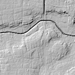
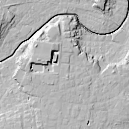
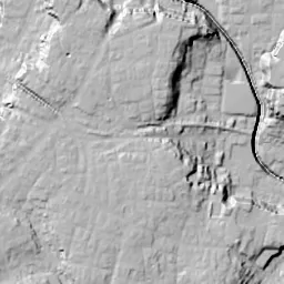
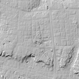
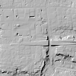
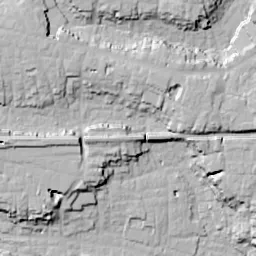
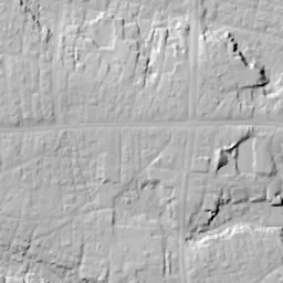
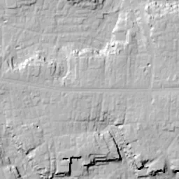
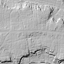
Note: the terrain shading is based on current surveys, not on the terrain at the time of the photograph. Hillshade map: processed from GSI Tiles
Note: the map is today's, not a map from the time of the photograph. Map: © OpenStreetMap contributors
Source: processed from GSI Tiles (aerial photographs by era / latest nationwide photographs / single photographs)
Explore this area on the mapMove the map to compare the surroundings then and now as well.
Overlay and compare the 1961-1969 aerial photograph and today's photograph of the Nakano (Former National Police Academy) area, Tokyo. All photographs are published by the Geospatial Information Authority of Japan (GSI).
Eras of photographs for this location
For the Nakano (Former National Police Academy) area, aerial photographs from the following eras can be compared.
The old photographs of this location cover 7 eras from c. 1936-1942 to 1987-1990; as of 2026, the newest photograph, 1987-1990, is 37 years ago.There are no photographs of this location from after that until today. The differences between eras are summarized in the guide to aerial photograph eras.
Coverage for each era differs by region. Only the eras that actually have photographs of this location are listed here.
Elevation of this location
The elevation (above sea level) near Nakano Station is 39.6 m (source: GSI elevation API). Elevation profiles running east-west and north-south through this location are also shown.
Profile positions (vertical green line = north-south / horizontal blue line = east-west)
Elevation is the value at the ground surface (even where a station is underground or elevated, the value is for the ground surface). Elevation is only one factor in disaster preparedness. Check actual risks such as flooding on the Hazard Map Portal Site and the hazard maps published by local governments.
Elevation tiles for the profiles: processed from GSI Tiles
Access by rail
Nakano Station is served by the following lines.
- Tokyo Metro Tozai Line
- JR East Chuo Line
Source of line information: processed from National Land Numerical Information (Railway Data / Ministry of Land, Infrastructure, Transport and Tourism).
Change seen in the share of built-up area
This compares land use in 1976 and 2021. The share of built-up area within 500 m changed from 93% to 96%. Among the locations on this site, the spread of built-up area here is on the small side (bottom 20-40%). The bar below shows where this location falls in the distribution across the locations on this site.
Source: processed from National Land Numerical Information (Land Use Subdivision Mesh / 1976 and 2021 / Ministry of Land, Infrastructure, Transport and Tourism). The texture value (amount of fine detail) of the photographs changed from 16.8 to 41.9. This is a mechanical comparison between photographs and includes differences from the shooting season and from black and white versus color, so treat it only as a rough guide.
Official land prices over time
The official land price (Chika Koji) standard site nearest to this location is "3-19-10 Nakano, Nakano Ward, Tokyo" (about 350 m in a straight line; use: Residential). The official prices per square meter at this standard site from 2017 to 2026 are shown below. The 2026 official price is 950,000 yen.
View as a table
| Year | Official price |
|---|---|
| 2017 | 566,000 yen |
| 2018 | 591,000 yen |
| 2019 | 620,000 yen |
| 2020 | 655,000 yen |
| 2021 | 655,000 yen |
| 2022 | 678,000 yen |
| 2023 | 717,000 yen |
| 2024 | 770,000 yen |
| 2025 | 855,000 yen |
| 2026 | 950,000 yen |
Source: processed from National Land Numerical Information (Land Price Publication Data / Ministry of Land, Infrastructure, Transport and Tourism). Official land prices are values published for standard sites as of January 1 each year and do not show the transaction price of any particular piece of land. The selection and location of standard sites may be reviewed from year to year.
Nearby locations
Sorted by distance from Nakano. Comparing them together shows how the same area has changed over time.
Select a marker on the map to see the location name and a link to it.
Locations with the same origins
Towns in the same category as Nakano (Former factory site), chosen from other regions. You can compare what they share in land use and town layout.
Select a marker on the map to see the location name and a link to it.
Recently viewed towns
This history is saved only on your device and is not sent to any server. Depending on your browser settings, it may be deleted automatically if you do not visit for a while (it is less likely to be deleted if you use the site as an app).
Why not look at how another town has changed?
History of Nakano (Former National Police Academy)
Just west of the north exit of Nakano Station there is a block where office buildings and university buildings line up around a lawn plaza. This block, called Nakano Shiki no Toshi, is land that the National Police Academy and the Metropolitan Police Department's police school used until 2001. In the aerial photographs, a large square site divided off by walls appears northwest of the station in every era, and only its contents change, from military facilities to police schools to a block of high-rise buildings. Near the top edge of the frame there is one more site enclosed by walls. This one is the site of a prison, and it became the ward-run Heiwa-no-Mori Park. The two large sites opened up at different times within a dense residential area. That order fits within one frame.
From an enclosure for dogs to army land
This area lies on an almost flat plateau that becomes slightly lower toward the south. According to the history of the land compiled by the operators of Nakano Shiki no Toshi, in the Edo period, under the shogun Tsunayoshi's Edicts on Compassion for Living Things, the area from Waseda-dori Avenue to around Okubo-dori Avenue is said to have been an official compound housing dogs, and Kakoi-cho (the name means enclosure town), the old town name around Nakano 4-chome, is said to come from this. As time went on, from the late 1920s, the Army Nakano School was placed on this land.
In the c. 1936-42 photograph, the Chuo Line crosses the frame east to west in a straight line, and a block where long, narrow buildings line up in parallel spreads northwest of the station. South of the rows of buildings, a wide gray ground with nothing built on it continues up to the edge of the tracks. Along the eastern edge of the block, a street extending north from the station runs straight. The site near the top edge of the frame is enclosed by walls in a trapezoid, and long white buildings line up in parallel like the teeth of a comb. Outside it the pattern of paddies and fields still remains, and in the northwest corner a dark curve that looks like a river course winds. Toward the bottom of the frame, a thick road extends white from east to west.
Two walls after the war
The 1945-50 photograph has strong contrast; the area south of the tracks shows whitish, and the fine pattern of roofs is fainter than on the north side. The rows of buildings and the wide ground remain in the block northwest of the station, and east of the station the tracks widen into a spread that looks like a place for stabling trains. According to the history of the National Police Academy, the National Police Academy moved from Amanuma in Suginami Ward to Nakano in Nakano Ward in November 1949. It was a police school moving into the site of an army school. The buildings inside the walls at the top edge also keep the comb-teeth shape in this era, and outside to their northwest a bright surface where the rows of houses break off opens widely.
The use of the land inside the walls at the top edge also wavered after the war. The history of Heiwa-no-Mori Park by Nakano Ward records that in 1910 (Meiji 43) the prison at Ichigaya moved here and became Toyotama Prison, and that after the postwar requisition by the US military was lifted, it reopened in 1957 as Nakano Prison.
Paddies and fields can no longer be found in the 1961-69 photograph. Almost the whole frame is filled with rows of houses, and on the left a thick, straight north-south road passes. The two walls remain as they were, and in the western part of the block northwest of the station a wide ground opens brightly. The new building of the National Police Academy was completed in March 1965. In the 1974-78 photograph, an ocher oval sports ground appears in the center of the block, and a tall white and blue building stands next to it on the east. In 1979-83 the sports ground turns green, but the outline of the block and the layout of the buildings inside the walls hardly move. Inside the walls at the top edge too, the comb-teeth buildings keep lining up in the same shape as in c. 1936-42. Even as rows of houses filled the surroundings, only the two sites kept their uses inside the lines drawn before the war.
The order in which the inside of the walls opened
The prison was the one that opened first. According to the ward's history, a statement on closing it was issued in 1975, a council of ward residents put together a plan to make the site a disaster-prevention park that would double as a green open space and an evacuation site, and in 1983 the prison was closed. In the 1984-86 photograph, all the comb-teeth buildings have disappeared from the site at the top edge, and the traces of the buildings remain as faint lines on brown ground. The northern part is a bright surface of soil, with nothing built yet. In 1987-90 the western half has been dug down deep, exposing orange soil, and in the eastern half a large, bright-colored rectangular surface appears. The park partially opened with 2.5 hectares in 1985, the underground sewage treatment plant began first-stage operation in 1995, and the park's second phase of 5.5 hectares opened in 2002. The form combining a sewage treatment plant and a park had been planned from the concept stage.
The National Police Academy moved to a new building in the City of Fuchu in 2001. According to the ward's summary, after the national government disposed of the land, the site was acquired by the ward and private developers; at first there was also a land use plan centered on a waste incineration plant, but after a review in 2003 it changed into an integrated development where office buildings, a university hospital and other facilities stand. In fiscal 2011 the district's nickname was decided as Nakano Shiki no Toshi and the park's name as Nakano Shiki no Mori Park, and the park began to be used in fiscal 2012.
Groves and a plaza where the walls were
In today's photograph the block northwest of the station is occupied by large buildings, and a thin line of trees passes east to west between them. On the place where the oval sports ground was sits a large, dark square roof, and the oval outline remains nowhere. According to the operators' explanation, many trees from the time of the National Police Academy have been kept in the street trees and the park of the block. The positions of the street running along the eastern edge of the block and of the tracks on its southern edge have not changed since the c. 1936-42 photograph. The thick road extending east to west toward the bottom of the frame also keeps drawing the same line. Land that was consistently inside walls from before the war has become a park plaza that you can walk straight into from the street in front of the station.
In Heiwa-no-Mori Park at the top edge, the northern half is covered with lawn and woods, and large buildings line up toward the south. The walls themselves cannot be seen, but the outline of the trapezoidal site can be traced as rows of trees. Traces of Yayoi-period dwellings and pottery were found inside the prison grounds in 1964, and excavations before it became a park also confirmed dwelling traces from the Jomon to the Kofun periods. On the same land on the plateau, different uses are layered era by era: a settlement, a prison, a park.